

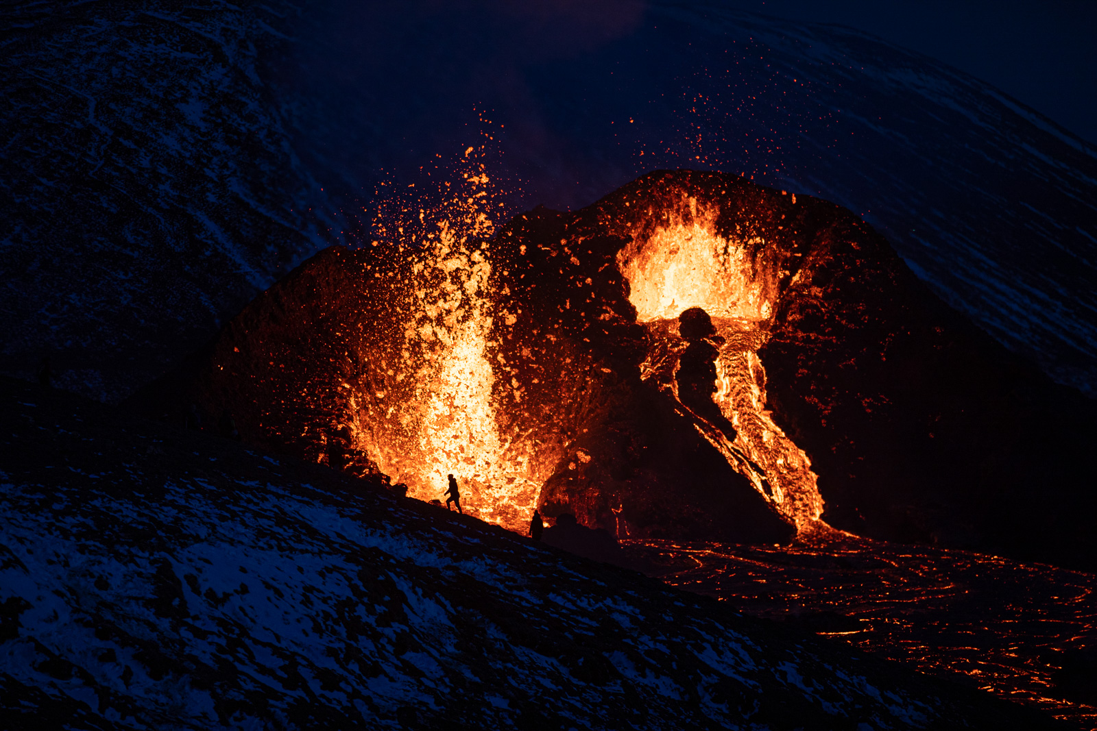
The Icelandic Met Office have been closely monitoring the eruption since it began and have now been able to use some satellite images to analyse the rhythm of the volcano.
The satellite, Sentinal 2, took this image 13:03 yesterday and in the picture, you can see the fixed rhythm of the eruption with its emissions slowly going south of the country.
Hér er áhugaverð mynd unnin úr Sentinel 2 gervitunglamynd sem tekin var kl. 13:03 í gær. Myndin er svokölluð nær-innrauð…
Posted by Veðurstofa Íslands on Thursday, 6 May 2021
The image is a so-called near-infrared image that shows a reflection just outside the visible light of the electromagnetic spectrum.
The report says that such images are used, among other things, to distinguish overgrown areas from vegetation deprivation where the amount of chlorophyll in plants affects the reflection, but that they can be used for many other things, such as this.
Note: Due to the effect the Coronavirus is having on tourism in Iceland, it’s become increasingly difficult for the Grapevine to survive. If you enjoy our content and want to help the Grapevine’s journalists do things like eat and pay rent, please consider joining our High Five Club.
You can also check out our shop, loaded with books, apparel and other cool merch, that you can buy and have delivered right to your door.
Also you can get regular news from Iceland—including the latest notifications on eruptions, as soon as they happen—by signing up to our newsletter.


