

Emissions of sulphur dioxide (SO2) from the Holuhraun eruption will go from moving northeast to southeast over the next 24 hours.
The new SO2 cloud forecast for the next 24 hours has been released. While there is no sign that the gas will be making its way to the capital, some residential areas in east Iceland have been, or will be, considerably affected.
As can be seen by moving the slider below the linked map from left to right (passing through Thursday and Friday respectively), significant levels of SO2 gas moved through Reyðarfjörður this morning before winds carried the gas further northwards, over Egilsstaðir. Winds over Iceland are expected to change direction over the next 24 hours, carrying the gas southwards.
Tomorrow, Höfn will be the most populated municipality in the area to experience significant levels of SO2.
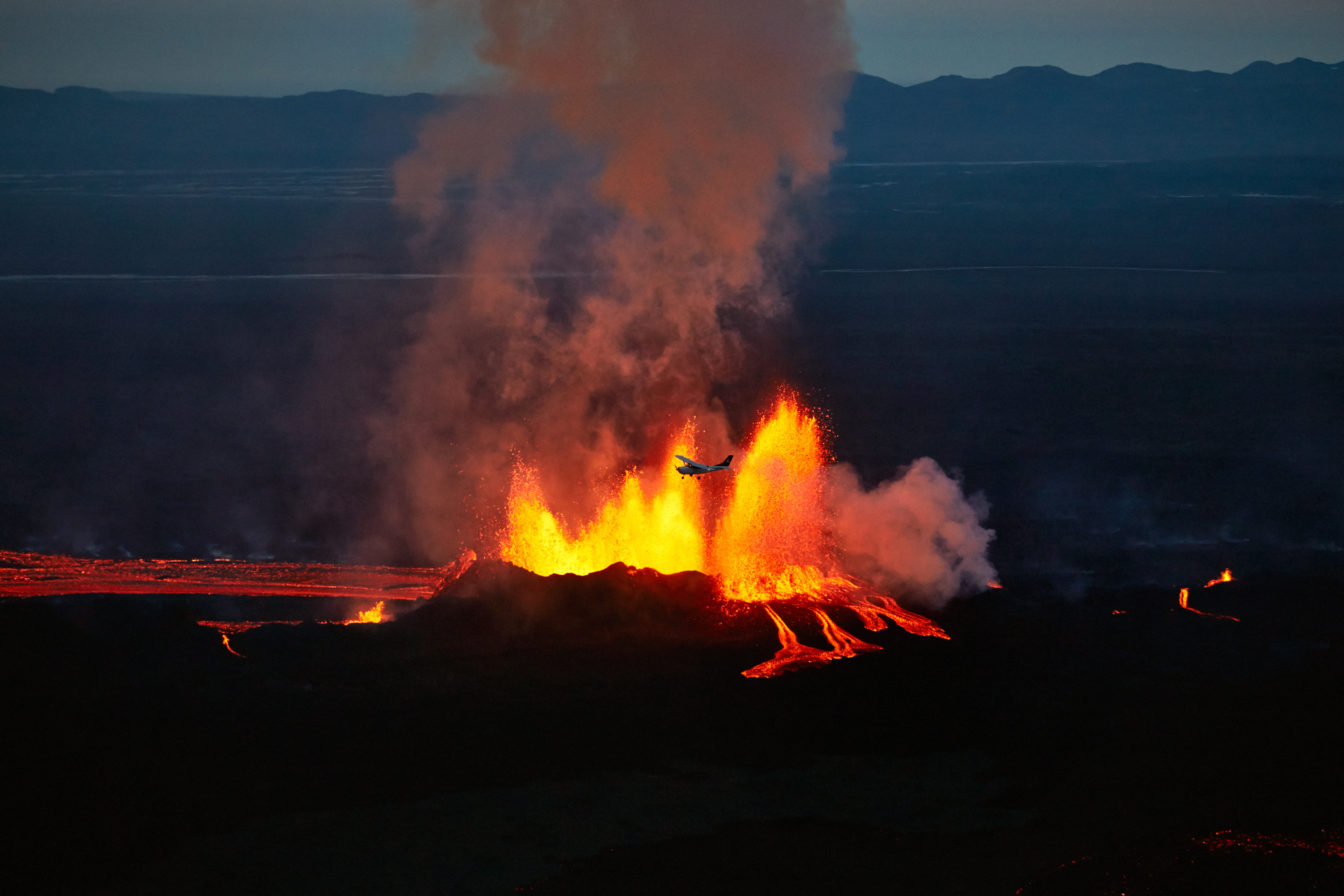
Although no one is in any imminent danger from the sulphur dioxide, even small amounts can cause burning and itching eyes, as well as respiratory problems. Dead birds have been found in the restricted area, closer to the source of the eruption, and are believed to be the victims of SO2 poisoning.
Before travelling, be sure to check the detailed map to see that SO2 levels for the dates and times of your destinations are safe. If you happen upon an area closed off to the general public, turn back at once. Crossing into a restricted volcanic area, in addition to the heavy fines one can incur, could be very damaging for your health, or even fatal.


