

According to data from the Icelandic Met Office, there were three earthquakes of a magnitude greater than 3.0 last night: a 4.0 at 19:10; a 3.4 at 19:44; and a 3.2 at 20:34.
[su_pullquote]Order our new Valentine’s Day box before February 7th – click here for details.[/su_pullquote]
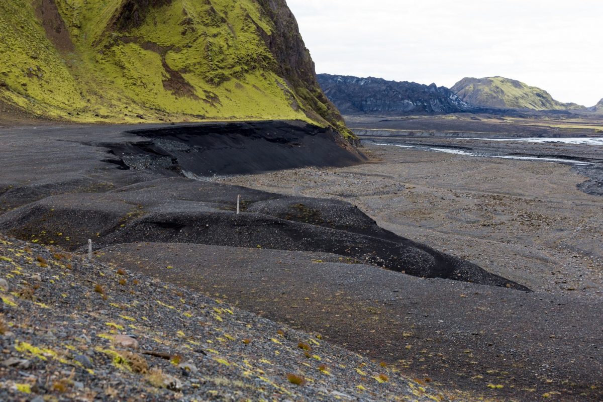
What makes these quakes remarkable is that they all took place just northeast of the volcano Katla, in southeast Iceland, and RÚV reports the 4.0 was the largest quake that has been measured in this area since 2017. There are, however, still no signs that an eruption is imminent.
Katla is indeed a powerful volcano. When it erupted in 1918, it extended the southern coastline by five kilometres, and another eruption in 2011 wiped out the bridge across the Múlakvísl river, tying up traffic along the Ring Road.
Due to its power potential, Katla has also been the subject of some of the most lurid and misleading reporting ever done about an Icelandic volcano.
So to set the record straight: volcanoes are notoriously hard to predict, and while they may erupt “frequently” on a geological scale, this can be measured in decades and centuries, and there is no such thing as a volcano being “overdue” to erupt.


