

A how-to guide to hikes around Reykjavík
A hike is nothing more than a walk on a mountain. Sure, you’ll become out of breath and your legs will ache, but there is a certain charm standing on top of a mountain that wasn’t made for wandering humans. And once back down, you can proudly point at that mountain and say “Look! I was there.”
A word of warning
Don’t let anybody tell you that we city folks can’t hike. We sure can and we won’t let you escape a conversation without telling you we once – almost – jogged up Esja. I mean, have you seen my Strava profile? I could definitely do it.
Luckily, going on a hike near the capital area doesn’t require too much forward planning as most of the mountains in our backyard are relatively safe, with well-maintained trails. You’ll be able to finish these in less than six hours – that’s including travel time.
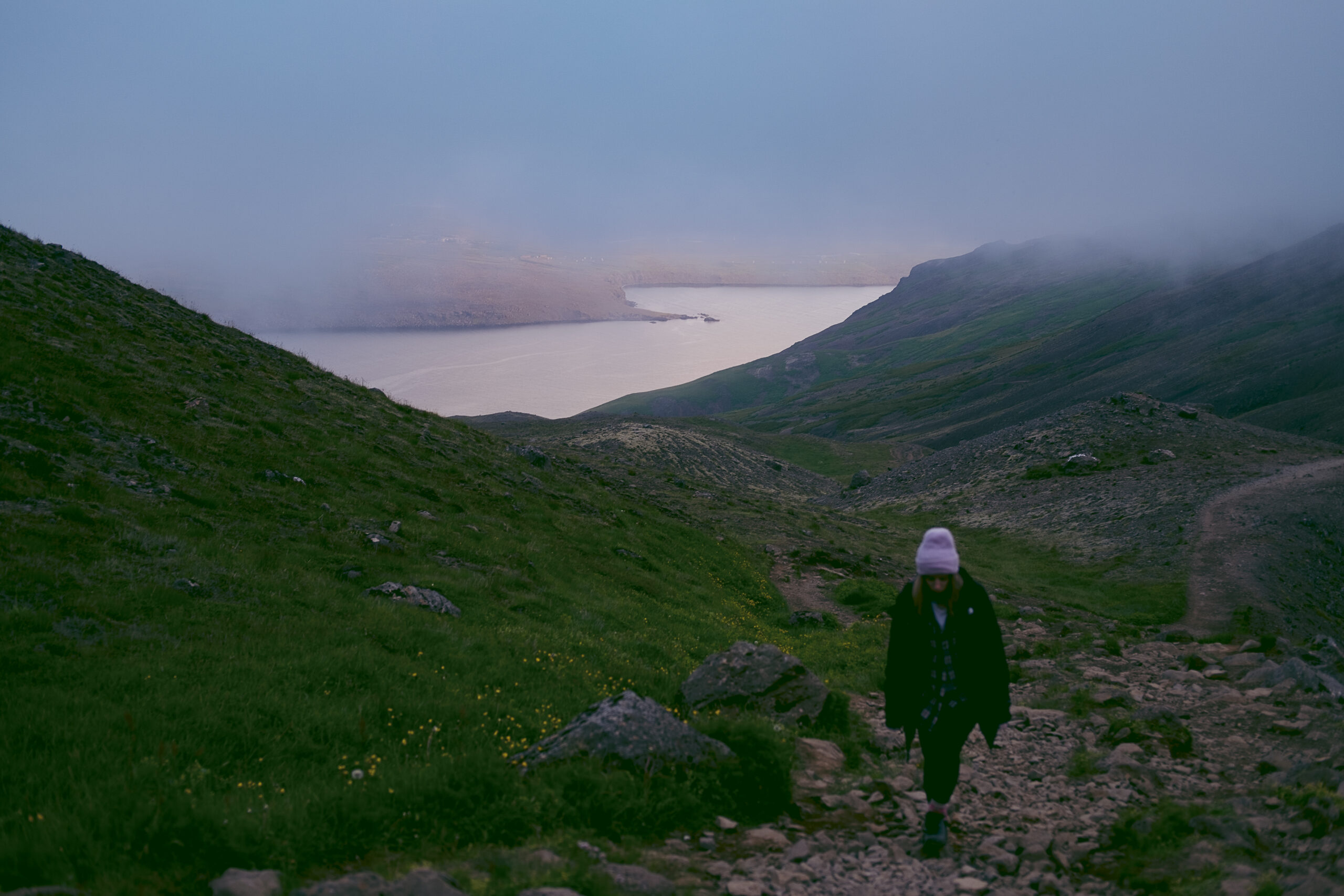
While these hikes are accessible, they rely on common sense and slight preparedness. Check the forecast ahead of time and listen to your gut. Are you sure you want to hike when the Met Office has issued a weather warning? (Don’t do it.) Dress in layers, bring water, food and snacks.
Factor in that the weather up on a mountain may be different than conditions on the ground. The Icelandic weather is notorious for changing from a clear, blue sky to thundering rain. Most importantly, leave no trace and pick up after yourselves.
Having said that, let’s take a look at some popular hikes around the capital area.
Esja: The Queen of Reykjavík

There’s not a child in Reykjavík that doesn’t know where Esja is. The mountain acts as a sort of watcher over the city, as it can be seen from almost anywhere in town. According to lore, this is the home of the mischievous yule lads and their slightly more sinister parents and cat.
Because of its short distance from the capital and its impressive height, Esjan is one of the most popular hiking trails in the area. Elevation gain from the trailhead to the most common destination, the boulder aptly named “Steinn,” lends you about 600 metres in elevation. The roundtrip is approximately seven kilometres. During clear weather, it is possible to hike slightly farther, to Þverfellshorn. That extra route won’t add too much to your trip – you’ll clearly see the peak from Steinn, but it requires some climbing and the assistance of bolted-on chains.
As Esjan is accessible from multiple directions, there are various trails to choose from. However, the most straightforward and popular route starts just when you drive past Mosfellsbær. About five kilometres past Mosfellsbær, you’ll see an exit to the right to Esjan’s trailhead. There you’ll find a parking lot, usually half full.
On a clear day, you can even see all the way to Keilir in Reykjanes.
Once you’ve managed to climb Queen Esja, marvel at the view it offers you. This is the best view you can get of Reykjavík. On a clear day, you can even see all the way to Keilir in Reykjanes.
Móskarðshnjúkar: Esja’s evil twin
Slightly east of Esja is a series of peaks named Móskarðshnjúkar. These peaks have long tricked the citizens of Reykjavík during wet seasons into thinking that sunshine is on its way. Due to their geological formation, the rhyolite peaks seem to be constantly bathed in the sun. It’s an especially warming sight on cold days.
This is a fairly challenging, but accessible hike. It totals about six kilometres round-trip, with approximately 700 metres of elevation. The most popular trailhead starts from the south. From Mosfellsbær, instead of driving north towards Esja, turn right onto Þingvallavegur (Route 36). Head straight for about seven kilometres and turn left onto a gravel road with a sign saying Hrafnhólar. From there, you’ll drive past the farms Skeggjastaðir and Hrafnhólar, until you’ll follow the road to the right, where you’ll end up at a parking lot by the trailhead.
These peaks have long tricked the citizens of Reykjavík during wet seasons into thinking that sunshine is on its way.
Like all hikes, Móskarðshnjúkar becomes more treacherous during the winter. It is prone to avalanches and many hikers have become injured. In 2020, an avalanche even led to the death of a young hiker.
Úlfarsfell: Standing on the shoulders of giants
Standing tall on the border of Mosfellsbær and Reykjavík is Úlfarsfell – a 296-metre-high mountain that seems puny compared to its neighbours. There was once a farm there, which was deserted around the year 1900. You can still find the ruins if you look closely.
Úlfarsfell is a fairly easy hike and a nice outing for the family. The hike is about three kilometres round-trip. The trailhead is very close to the main road connecting Reykjavík and Mosfellsbær. From Reykjavík, you’ll enter a roundabout from where you’ll take the first exit to the right. Voilá! You’re at the trailhead. The Forestry Association of Mosfellsbær has grown trees there since the early 20th century, so the start of the hike leads you into a nice collection of evergreens. Once out of the copse, you’ll hike up a pretty barren environment for the rest of the trip. The round-trip takes on average about 90 minutes and grants you a spectacular view of the cityscape.
Helgafell: A lesser-known gem

If you want to skip the trip to Mosfellsbær – I won’t blame you – there are more hikes available near Hafnarfjörður. Helgafell is one of the more popular mountains to hike within the capital area. But it means you’ll have to go to Hafnarfjörður. Pros and cons, people.
Driving into Hafnarfjörður, head in the direction of Keflavík until you reach a looped intersection taking you to Kaldársel. Drive until you reach the road Kaldárselsvegur which ultimately takes you out of civilisation. You’ll reach the trail’s parking lot.
Although the elevation isn’t much to write home about – approximately 250 metres – the trail becomes steep. The more popular route leads you into a small crevice, where your hand and foot coordination is tested. No worries though, it’s not a climb in any sense of the word.
Continue upwards to be rewarded with a beautiful panoramic view over Reykjanes and the capital area.
A well-deserved rest
Once you’ve finished these hikes – yes, all these hikes – give yourself a pat on the back. Your muscles will be sore tomorrow, which is a perfect time to hit up one of the local swimming pools. There will be an air of smugness around you and you’ll want to tell everyone what hikes you got up to last weekend. Don’t resist the urge. Tell them. Send them a friend request on Strava. After all, you are better than most. Congratulations.


