Elevation: 824 m
Ascent time: 2.5-3.5 hrs
Length: 4 km
Map: 37
Elevation difference: 600 m
The mountain
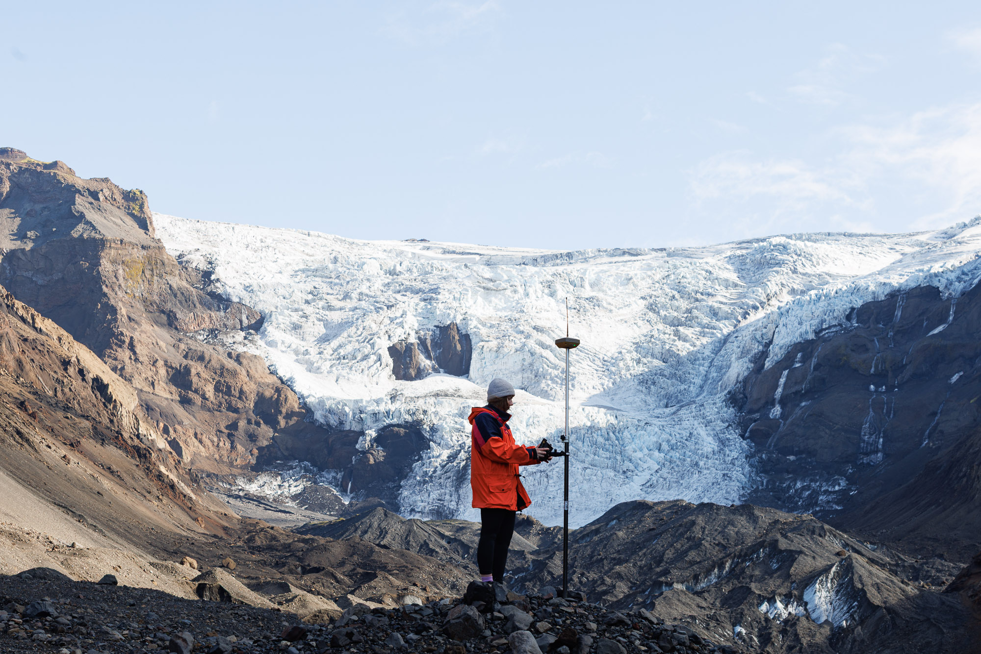
A tuya or stapi mountain is a subglacial volcanic structure on top of a short volcanic fissure. If a longer, subglacial volcanic fissure opens up beneath thick ice, the landscape forms differently from a stapi. The basalt rocks, however, are still pillow lava, tuff (móberg in Icelandic) and sometimes even summit lava. The volcanic structure appears as a long ridge, with individual summits where the most active volcanic vents were located.
Such tuff ridges are very common within or close to the active volcanic zone in Iceland. Kálfstindar, not far from Lake Þingvallavatn, is a solid example. The peaks on the ridge number seven in all, and from the peak picked as our destination here, you will notice an array of similar ridges and peaks to the north and east, as well as stapis like Hlöðufell, Skriðan and Hrafnabjörg, and lava shields like Skjaldbreiður. The mountains bear witness to the lively volcanic activity beneath the Ice Age glacier cover. Recent lava flows and craters nearby show that the earthly fires still are at large.
Kálfstindar: Kálfur (calf or a man’s name), tindar (plural for peaks).
Route character
A good outing in pristine landscape with a long scree slog but a good finish.
Route description
The recently abandoned gravel road between Þingvellir National Park and Laugarvatn (365, Gjábakkaleið) is really the best way to get to the caves at Laugavatnsvellir. The new paved road lies farther east. From the parking lot at the caves (once used for night accommodation and even permanent habitation, from 1910-1921), walk the gravel flats towards Mt. Þverfell.
At the foot of an imposing nameless Kálfatindar peak west of Þverfell, start to climb the steep, coarse scree slopes into the pass between this nameless giant and the 824-metrepyramid (next in line to the northeast). Beware of rockfall from other hikers if you climb in a group. Climb the pyramid from the pass in a northeasterly direction, across scree, slanting tuff cliffs, between boulders and past a small rock tower. This summit is the highest in on the ridge (the name Flosatindur has been suggested).
Difficulty rating: 5
Overall rating: 6