Elevation: 855 m
Ascent time: 1.5-2.5 hrs
Length: 2-2.5 km
Map: 61
Elevation difference: 735 m
The mountain
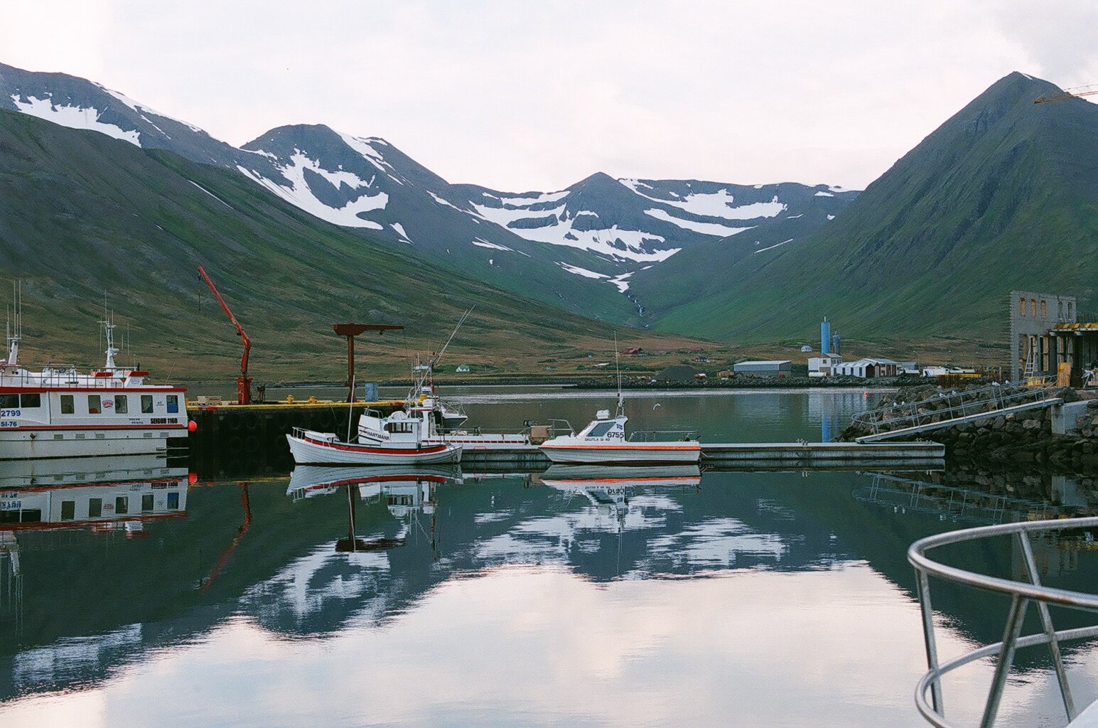
The pretty triangle-shaped summit opposite a small fjord from the picturesque town of Siglufjörður is not a common climb, but it is a fine one indeed. The cirque facing the fjord contains snow until late summer each year. (An enormous, fatal avalanche started there in 1919 and obliterated a coastal herring processing factory. The ruins are still visible.) The Hestskarð pass south of Hestskarðshnjúkur was once the landward gateway to the small farming community in Héðinsfjörður, but nowadays that fjord (now abandoned) is accessible from the short road linking the two road tunnels that connect the towns of Siglufjörður and Ólafsfjörður, both with numerous attractions and facilities for travellers.
Hestskarðshnjúkur: Hestur (horse), skarð (mountain pass), hjúkur (peak).
The route character
An interesting, steep route that meanders through low cliff bands and steep scree slopes (no hand-on climbing necessary).
Route description
Begin the hike to the left of where the main road enters the tunnel in the Skútudalur valley, at the southeastern end of the fjord. Ascend the southwest slopes, bearing somewhat right as the slanting rock bands are a bit lower there. Turn left and right to surmount them without having to climb the steps.Take care when walking across steep scree slopes with loose rocks on top of solid rock. Turn north (left) when you approach the summit and aim for the highest point. The highlands to the west, south and east are vast (this is the interior of the Tröllaskagi peninsula), with higher peaks as one looks farther south, but most of these are hidden from view by nearby mountains.
Difficulty rating: 4
Overall rating: 5